Esplugues, on the map
A city you understand by looking.
The brief
Esplugues de Llobregat Town Council needed to show the city to an audience that doesn’t know it: companies, investors and bodies deciding where to settle within the Barcelona metropolitan area. In English, and in a few minutes.
The arguments already existed —connections, green space, land, innovation, healthcare, education— but they were scattered across reports. They had to become something you understand just by watching.
What we did
We turned the data into a story. A script built around arguments: the position (10 minutes from the airport, 15 from the high-speed train station and the trade fair, 20 from central Barcelona), the green city with 15% of the municipality inside the Collserola natural park, the Gaudí heritage and the Espai Corberó, and the Esplugues that is transforming.
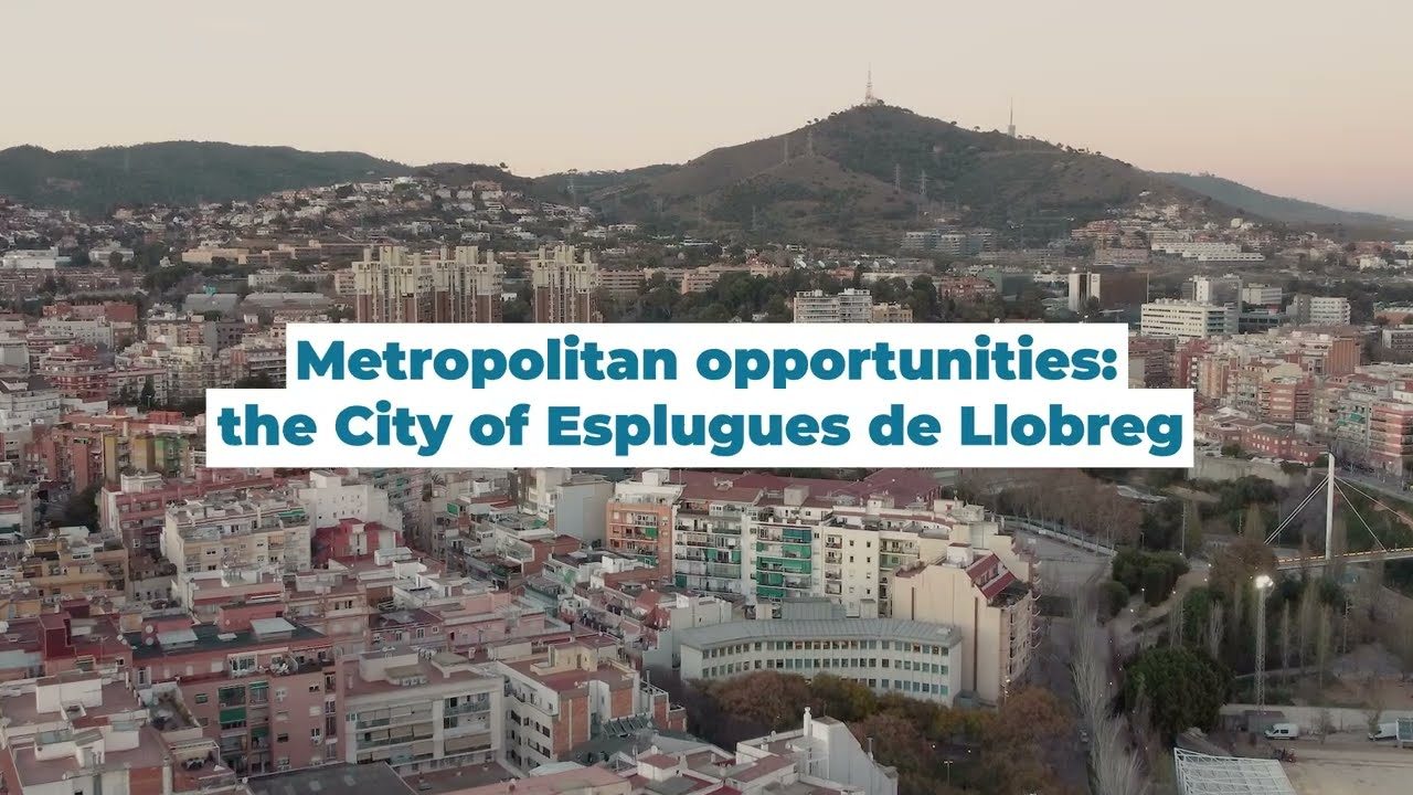
We filmed the city from the air and from the street. Drone flights to place Esplugues on the metropolitan map with Collserola behind it, and ground-level shots of the parks, the heritage and innovation spaces such as the Esplulab.
We explained the development areas. Montesa, Porta Barcelona and the El Gall industrial estate, told with figures and with pictures: what each area is, how many square metres are available and for which uses. That’s the part that actually matters to anyone looking for somewhere to settle.
English voice-over, titling and edit. An English narration, graphics for the key figures and a cut paced like an institutional presentation, not an advert. Ready for trade fairs, business missions, the website and YouTube.
From the air to the street.
A city doesn’t compete on what it says about itself, but on what people understand in three minutes. Showing the Diagonal, Collserola and a crane at Montesa explains the opportunity better than fifteen pages of PDF.
The project in numbers
From the reports to the video
A city’s arguments for attracting companies already exist: they are in reports, planning documents and annual reviews. The job was to order them the way they are read by someone deciding where to set up: first where it is (10 minutes from the airport, 15 from the high-speed rail and the Fira trade-fair grounds, 20 from central Barcelona), then what living there is like (15% of the municipality inside Collserola, Gaudí, the Espai Corberó) and finally where there is room (Montesa, Porta Barcelona, El Gall, with square metres and permitted uses).
Every argument has its image: the drone places you, the street brings you close and the captions give the figure. The English voiceover carries the thread at the pace of an institutional presentation, not an ad, because the audience is trade fairs, trade missions and boards of directors. You don’t sell a city with a brochure: you show it in three minutes and leave the PDF for afterwards.
How it went
Gallery · the project in pictures (click to enlarge)
"New times, new opportunities. A city full of opportunities."Closing line of the film
Want a result like this for your project?