Roig Obres i Serveis
A different height. A different scale.
The brief
Obres i Serveis Roig is a family-run contractor from Baix Llobregat with large-scale civil works behind it. The brief: tell the story of the Sils logistics platform (Girona) without drawings or technical reports.
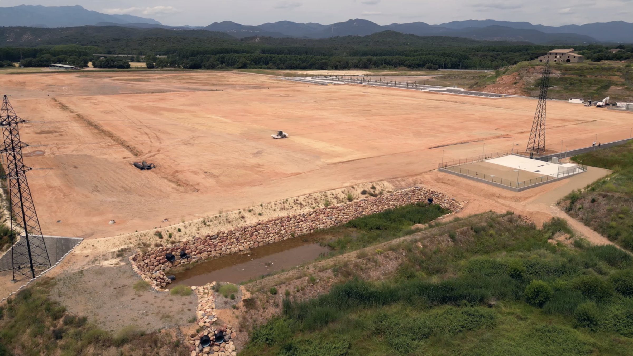
Earthworks at this scale don’t fit into a photo taken from the ground. From down there you see a machine. From the air you see what was actually built.
What we did
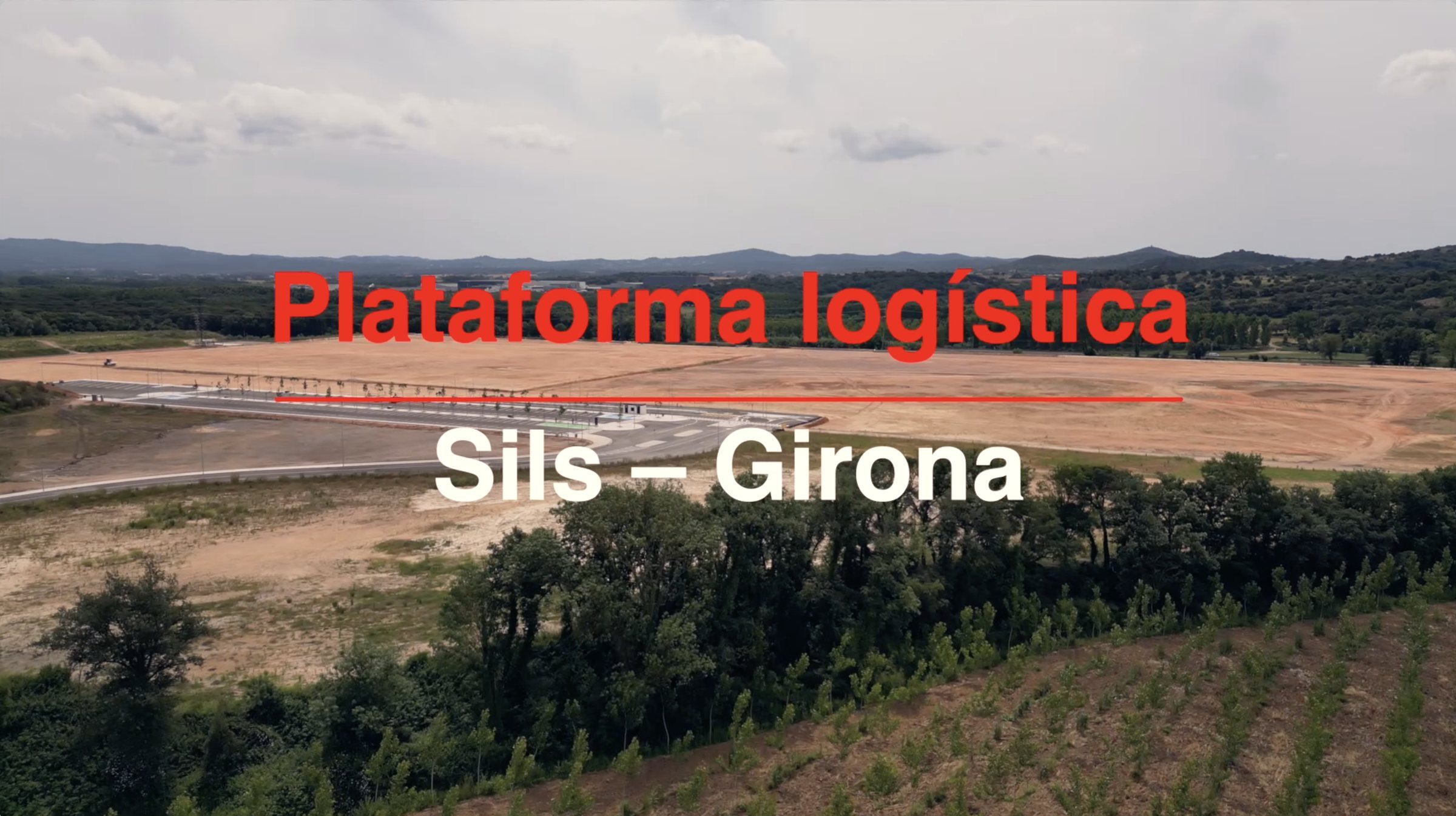
We flew the site with a drone. Flight path and light hours planned to cover the whole platform: wide shots placing it in the Selva landscape, side passes to read the topography and descents down to machine detail.
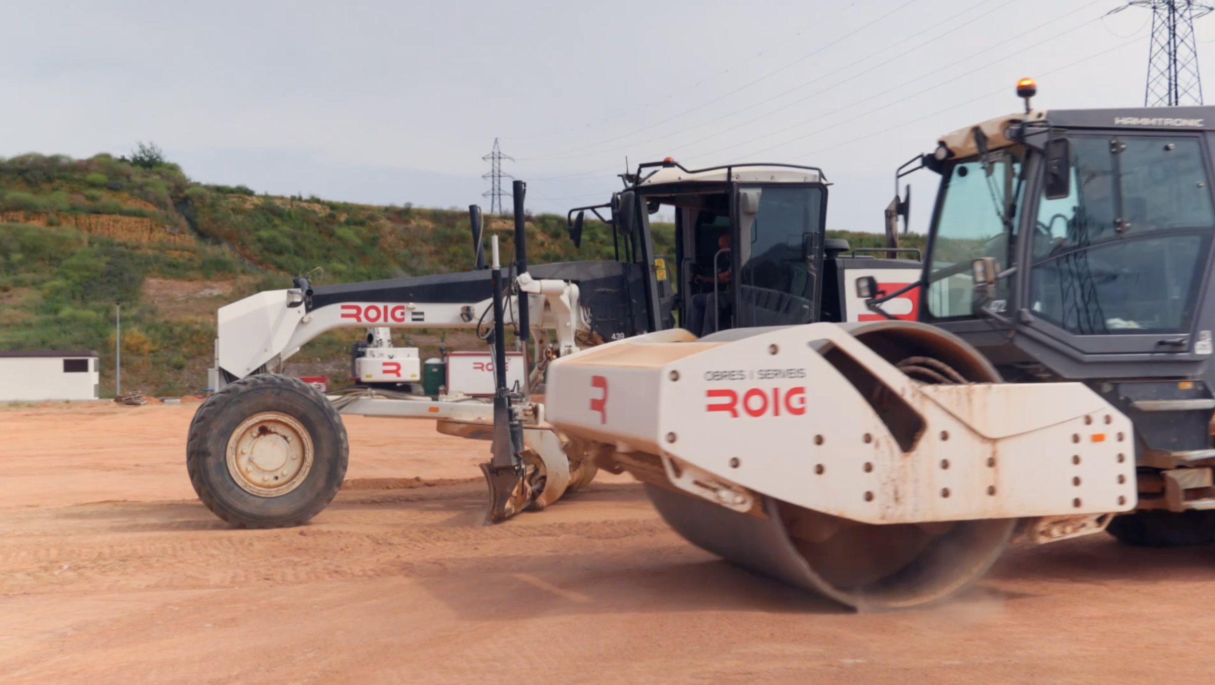
We also filmed on the ground. Rollers, graders and the Roig brand on machinery at work. That’s what gives human scale to the aerials and keeps the film from becoming a postcard.
We cut the film. A 1:37 edit, titling in the corporate red, a build-up rhythm and a closing shot of the finished platform. Ready for the website, sales decks and social.
The wide shot needs the detail.
In civil works the achievement ends up buried: what you see at the end is flat ground. The drone gives the scale back — and with the scale, the credit.
What it takes to fly a construction site
A drone flight over a civil works site is decided before take-off. The route: which wide shots place the platform in the landscape, which side passes let you read the topography, and where it is worth dropping down to the machine. The hour of light: a dirt esplanade is flat at midday and has relief first thing and last thing; you fly when the shadows draw the work. And the permits: registered operator and airspace checked, because a site is not always somewhere you can fly without asking.
What you see in the final piece is the result of that planning: scale first, detail after, and the close on the finished esplanade. On a civil works site the drone isn’t an effect: it’s the only camera that sees the whole job.
How it went
Gallery · the project in pictures (click to enlarge)
From scale to the work itself.
The aerial shot places the Sils platform in the landscape. At ground level, the roller and grader show how that ground is worked. Two distances within the same film.
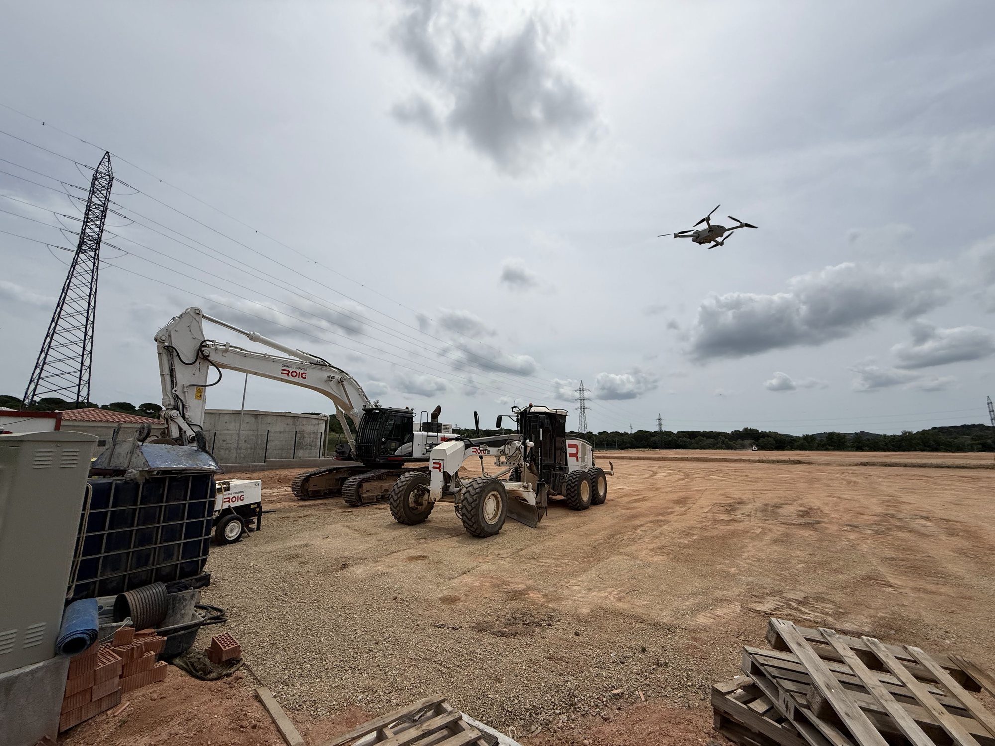
The other side of the shoot.
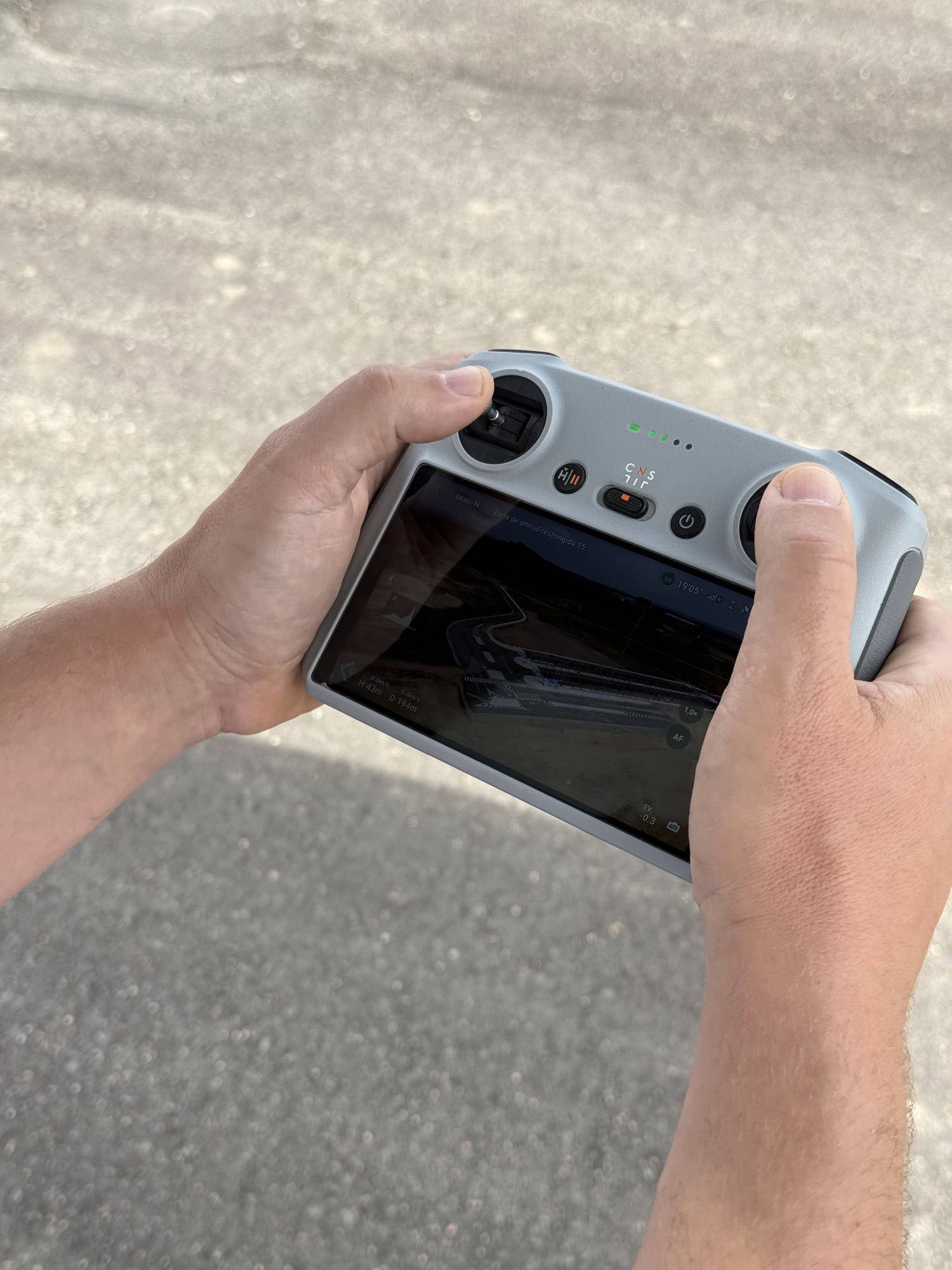
Two photographs from the shoot: the drone above the site and the live view on its controller. They show how the aerial viewpoint was captured.
"From the ground you see a machine. From the air you see the whole job."Why this gets shot with a drone
Want a result like this for your project?